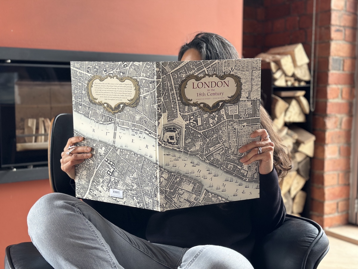
At times, I’ve felt rather unique in my enthusiasm for maps. Passing an antiquarian store, I will pause and peer through the window into this other world, and want to explore everything inside.
So, it’s with this in mind that I absolutely had to get a copy of this new publication, London in the 18th Century, which presents an outstanding large-scale reproduction of pioneering cartographer John Rocque’s 1746 masterpiece An Exact Survey of the Cities of London and Westminster. At the time, this was a new map which provided an unprecedented, detailed bird’s-eye view of London for the first time.

The eighteenth century was a transformative era for London, a period when the city shed its medieval skin and began its sprawl toward becoming a global metropolis. During this time, maps evolved from charming, semi-fictional illustrations into rigorous scientific documents.
A map of London at the time wasn’t simply something you’d just fold up and keep in your pocket whilst out for a stroll. In fact, many owned large-scale wall maps to show off their wealth. To actually own a map by such a master cartographer like John Rocque was to signal one’s interest in the Enlightenment and the burgeoning British Empire. And we all know how important it is to impress your friends!

Turning the pages of this book is both a form of time-travel as well as an utter revelation as to its accuracy. It’s so precise that you can apparently overlay parts of the map onto a map of modern London and find that the streets align almost perfectly! I even found myself tracing routes with my finger from one street to another.
This is largely because Roque didn’t just copy old maps, with their oddities and mistakes, but spent nine years, yes, let me repeat that, NINE years, walking down every street in London before the final work was published in 1746. This then became the accepted source for all future maps.

It’s so revealing to see so many green open spaces, which was handy for merchants and developers to identify new areas for investment, especially at a time when the city was expanding into Mayfair and towards the docks.
Having lived in Bethnal Green for a few years upon arrival in the UK, it’s rather amusing to note that this area was actually a country retreat where gentlefolk went for fresh air, cake and ale. Ironically, most of this is still available today, at a rather higher price though, and space is of a premium!

Just along the road, Whitechapel was known as the city’s rubbish dump, whilst there were watchmakers in Clerkenwell and weavers in Spitalfields. Oh, how times change.
London in the 18th Century is published by Atlantic on 26th March and for anyone interested in history, it’s an utter joy.


